MyTopo
Classic USGS Adams Diggings New Mexico 7.5'x7.5' Topo Map
Couldn't load pickup availability
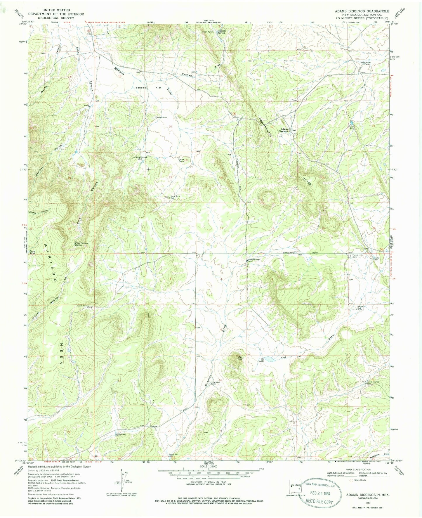
Historical USGS topographic quad map of Adams Diggings in the state of New Mexico. Map scale may vary for some years, but is generally around 1:24,000. Print size is approximately 24" x 27"
This quadrangle is in the following counties: Catron.
The map contains contour lines, roads, rivers, towns, and lakes. Printed on high-quality waterproof paper with UV fade-resistant inks, and shipped rolled.
Contains the following named places: Adams Diggings, Adams Diggings Post Office, Cat Draw, Cat Hill, Cat Lake, Cat Well, Daddy Haynes Well, Forest Hill Cemetery, Hayes Well, Hogg, Jensen Well, Kalberg, Lee Wright Well, Lower Well, Mariano Mesa, Moore Well, Nelson Well, Panther Canyon, Pine Canyon Spring, Preacher Well, Taylor Well, Techado Flat, Techado Spring, Toms Rock, Toms Rock Well, Wade