
MyTopo
Classic USGS Adamsville Kansas 7.5'x7.5' Topo Map
Couldn't load pickup availability
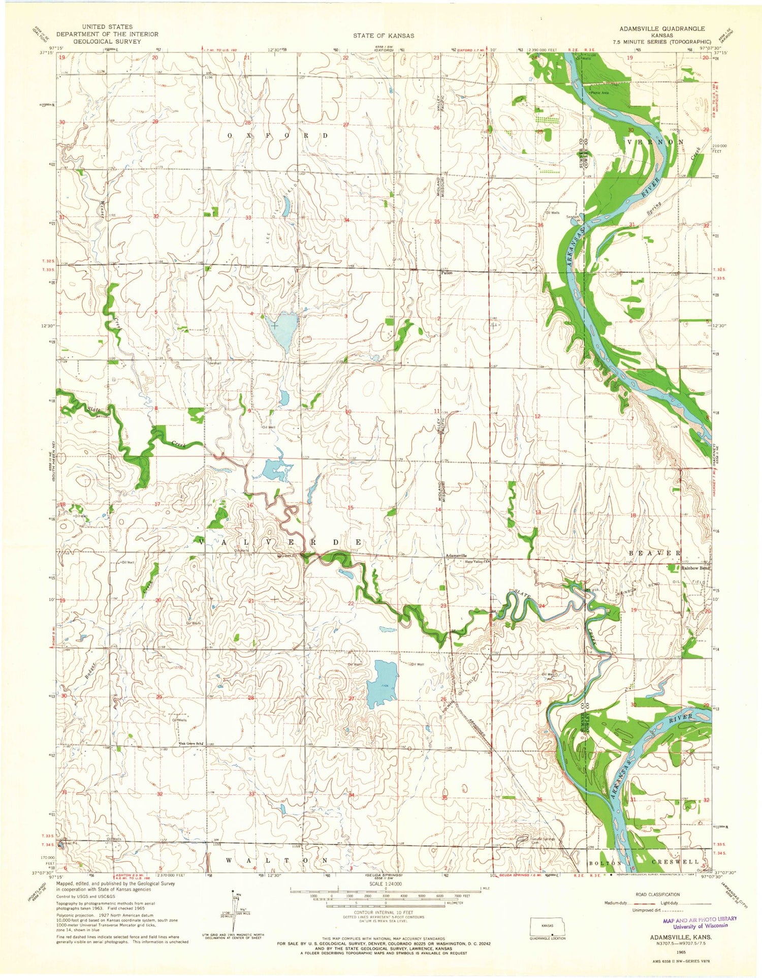
Historical USGS topographic quad map of Adamsville in the state of Kansas. Map scale may vary for some years, but is generally around 1:24,000. Print size is approximately 24" x 27"
This quadrangle is in the following counties: Cowley, Sumner.
The map contains contour lines, roads, rivers, towns, and lakes. Printed on high-quality waterproof paper with UV fade-resistant inks, and shipped rolled.
Contains the following named places: Adamsville, Axley Ford, Badger Creek, Geuda Springs Cemetery, Hackney, Holman Oil Field, KBUZ-FM (Arkansas City), Lee Oil Field, Oak Grove School, Paton, Rainbow Bend, Rainbow Bend Oil Field, Slate Creek, Slate Valley Baptist Church, Spring Creek, Township of Valverde, Valverde Township Fire Department, Winser Creek, ZIP Code: 67119


