MyTopo
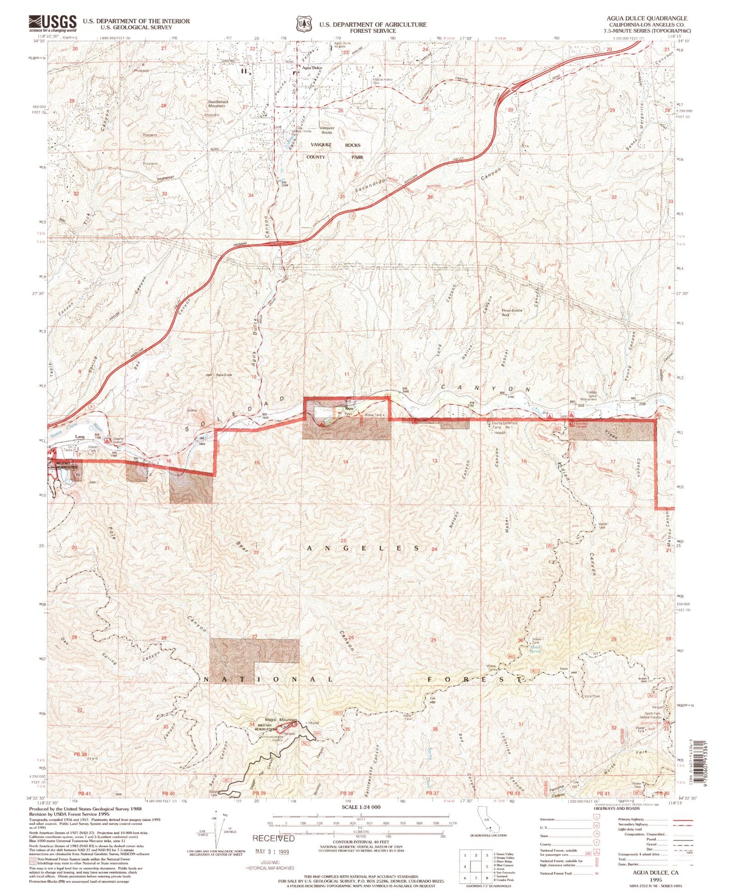
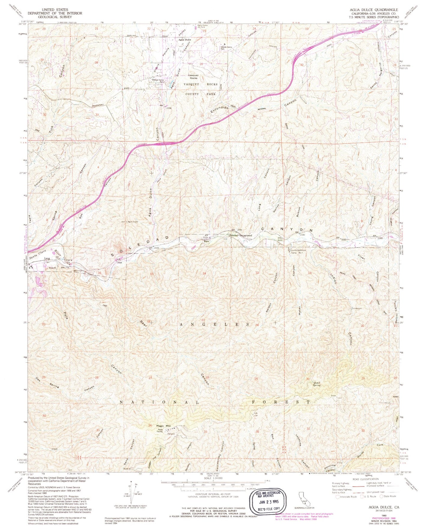
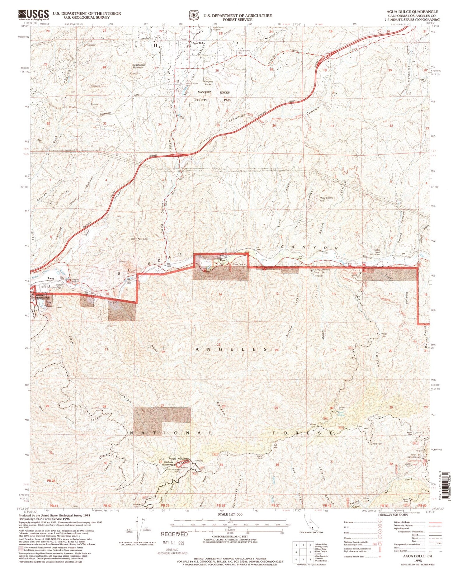
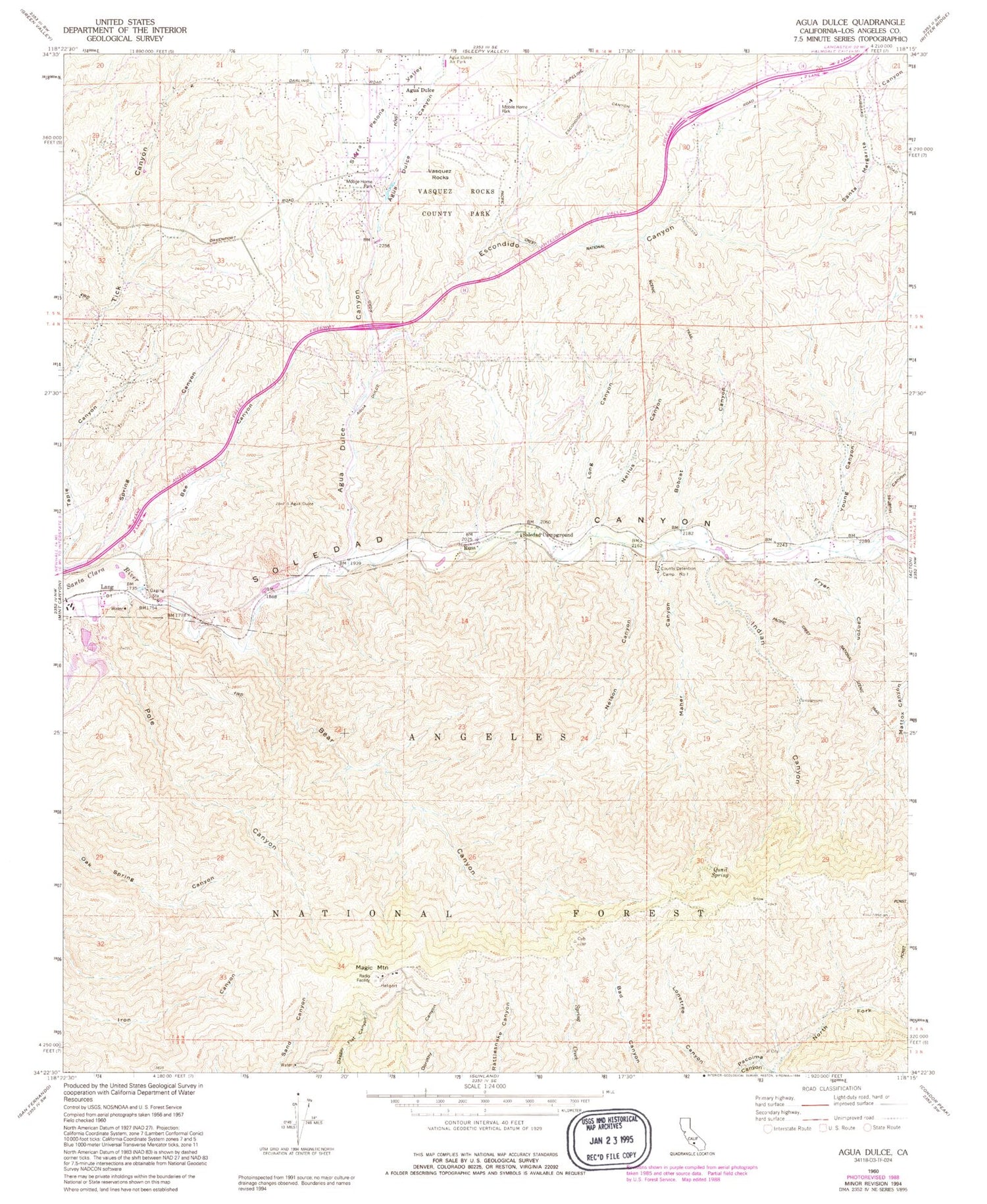
Classic USGS Agua Dulce California 7.5'x7.5' Topo Map
Couldn't load pickup availability
Historical USGS topographic quad map of Agua Dulce in the state of California. Typical map scale is 1:24,000, but may vary for certain years, if available. Print size: 24" x 27"
This quadrangle is in the following counties: Los Angeles.
The map contains contour lines, roads, rivers, towns, and lakes. Printed on high-quality waterproof paper with UV fade-resistant inks, and shipped rolled.
Contains the following named places: Bear Canyon, Bee Canyon, Bobcat Canyon, Escondido Canyon, Fryer Canyon, Hughes Canyon, Indian Canyon, Long Canyon, Maher Canyon, Nellus Canyon, Nelson Canyon, North Fork Pacoima Canyon, Pole Canyon, Quail Spring, Santa Margarita Canyon, Soledad Campground, Soledad Guard Station, Young Canyon, Russ, County Detention Camp Number One, Agua Dulce Canyon, Sierra Pelona Valley, Vista Point, North Fork Saddle Station, Rivers End, Little Arrka Campground, Cypress Park, Camp 11 Heliport, Wild Country Picnic Area, Indian Target Shooting Area, North Fork Saddle Picnic Area, Agua Dulce, Magic Mountain, Vasquez Rocks, Alpine (historical), Borax Mine, Champion Mine, Elkhorn Lodge, Green Ranch, Fryer Ranch (historical), Nelson Ranch, Skyline Ranch, Soledad Sulphur Springs (historical), Sunny Slope Ranch (historical), Vasquez Rocks Park, Agua Dulce Elementary School (historical), Three Sisters Rock, Saddleback Mountain, Golden Spike Monument, Nike Site LA-98C (historical), Nike Site LA-98L (historical), Magic Mountain Wilderness