MyTopo
Classic USGS Alaska Bench Montana 7.5'x7.5' Topo Map
Regular price
$16.95
Regular price
Sale price
$16.95
Unit price
per
Couldn't load pickup availability
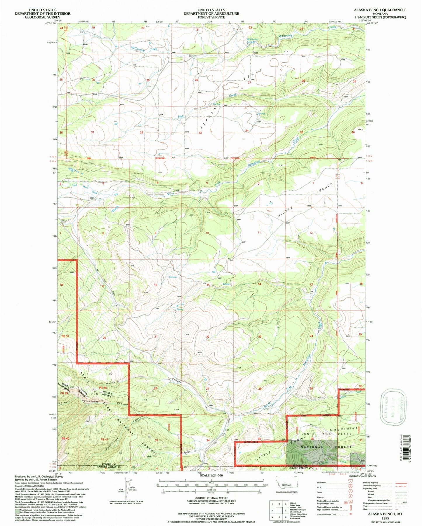
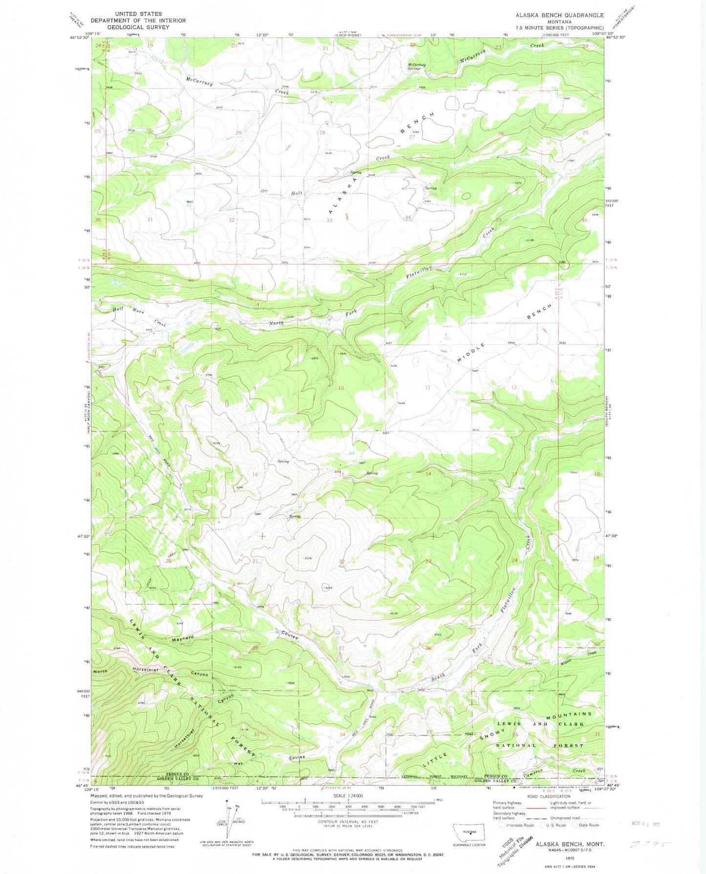
Historical USGS topographic quad map of Alaska Bench in the state of Montana. Map scale may vary for some years, but is generally around 1:24,000. Print size is approximately 24" x 27"
This quadrangle is in the following counties: Fergus, Golden Valley.
The map contains contour lines, roads, rivers, towns, and lakes. Printed on high-quality waterproof paper with UV fade-resistant inks, and shipped rolled.
Contains the following named places: Alaska Bench, Half Moon Creek, Half Moon Pass School, Hay Coulee, Holt Creek, Horsethief Canyon, Little Snowy Mountains, Maynard Coulee, Maynard Creek, McCartney Springs, Middle Bench, Morrison School, North Horsethief Canyon