MyTopo
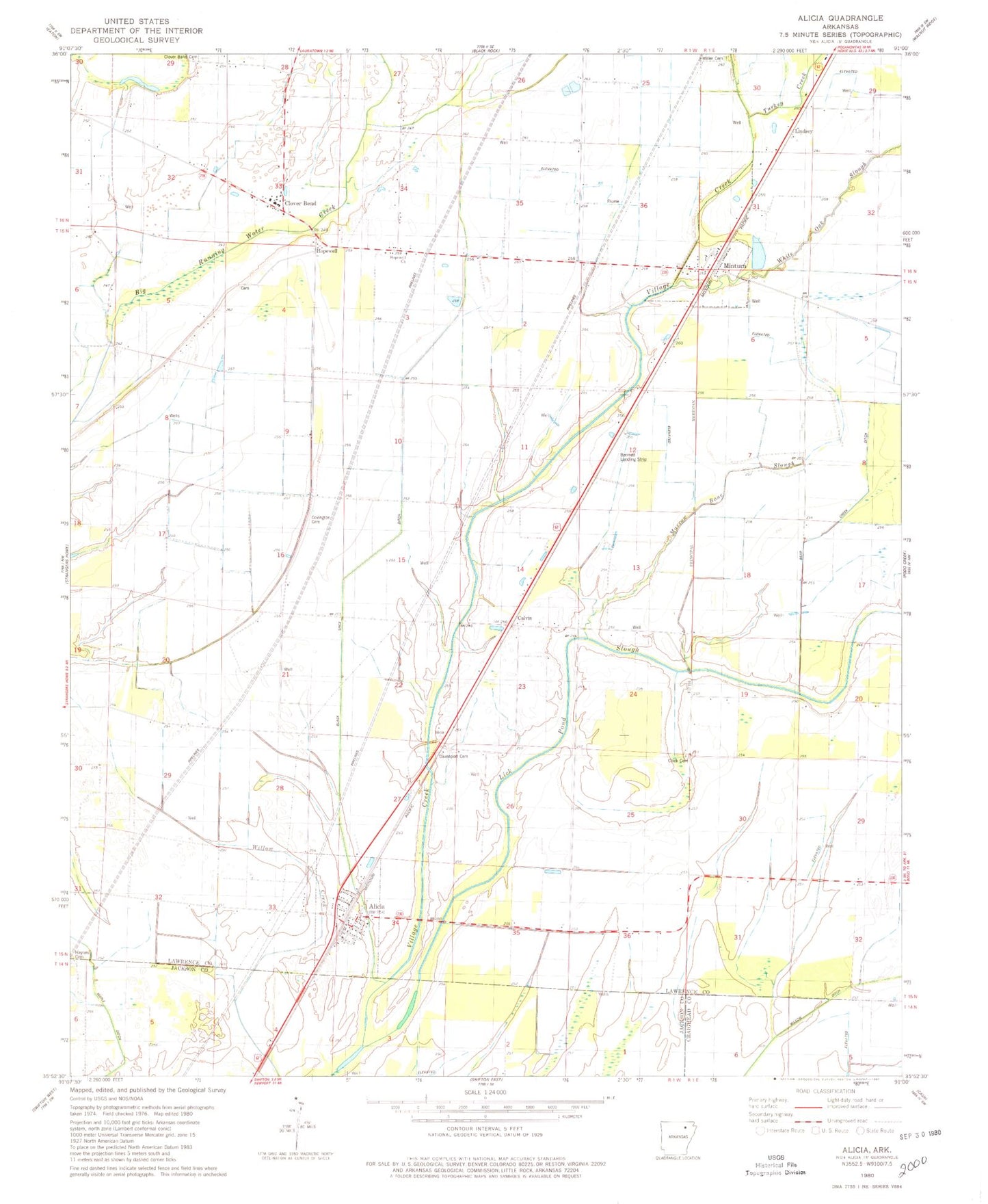
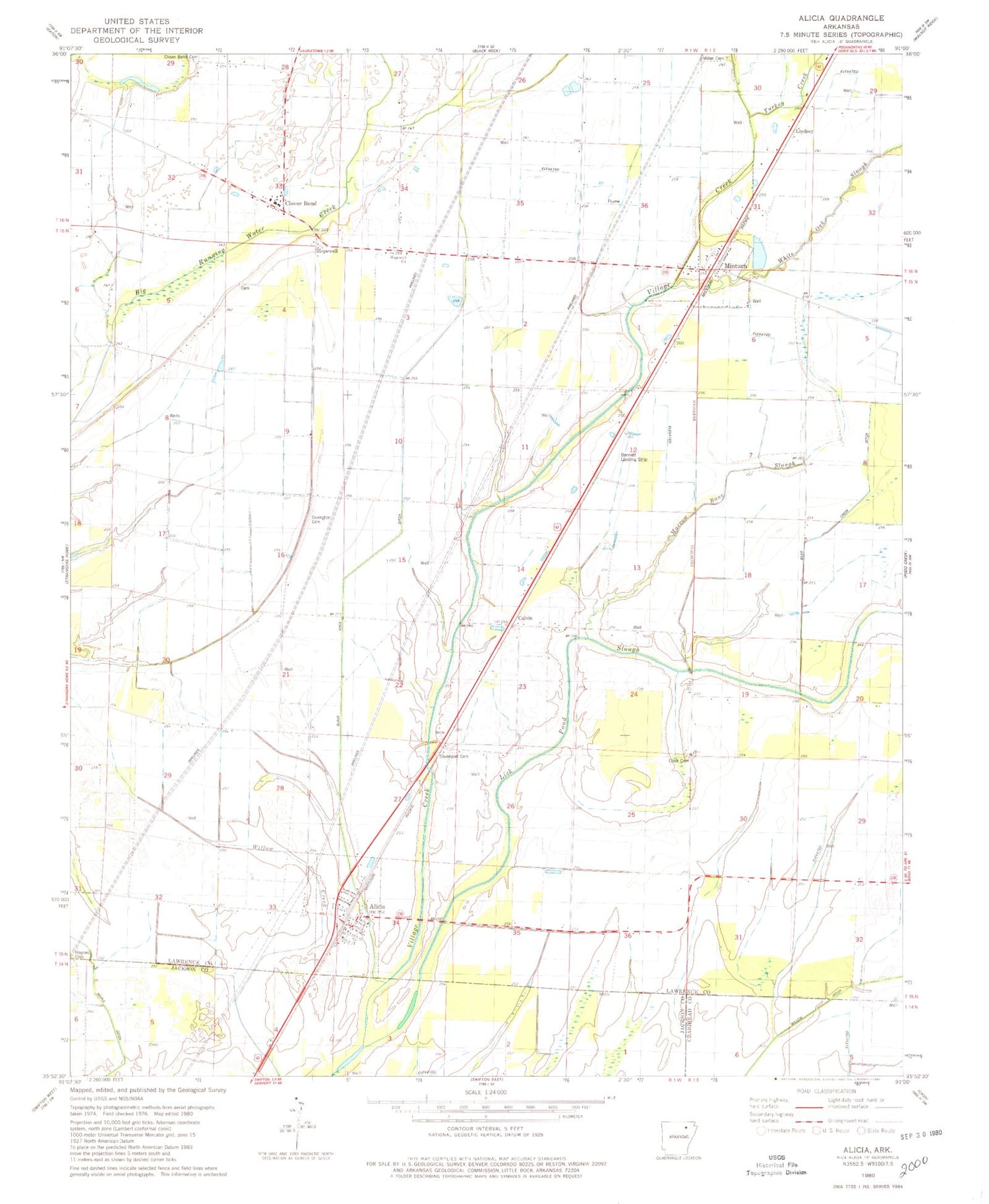
Classic USGS Alicia Arkansas 7.5'x7.5' Topo Map
Couldn't load pickup availability
Historical USGS topographic quad map of Alicia in the state of Arkansas. Map scale may vary for some years, but is generally around 1:24,000. Print size is approximately 24" x 27"
This quadrangle is in the following counties: Craighead, Jackson, Lawrence.
The map contains contour lines, roads, rivers, towns, and lakes. Printed on high-quality waterproof paper with UV fade-resistant inks, and shipped rolled.
Contains the following named places: Alicia, Alicia Volunteer Fire Department, Bear Creek Ditch, Bennett Landing Strip, Black Spice Ditch, Broom, Calvin, Clark Cemetery, Clover Bend, Clover Bend Cemetery, Clover Bend High School, Clover Bend Historic District, Clover Bend School, Clover Bend Volunteer Fire Department, Covington Cemetery, Haynes Cemetery, Holloway School, Hopewell, Hopewell Church, Hopewell School, Lick Pond Slough, Lindsey, Lindsey School, Marrow Bone Slough, Miller Cemetery, Miller Church, Minturn, Minturn Post Office, Town of Alicia, Town of Minturn, Township of Ashland, Township of Lawrence, Township of Marion, Turkey Creek, White Oak Slough, Williams School, ZIP Codes: 72410, 72445