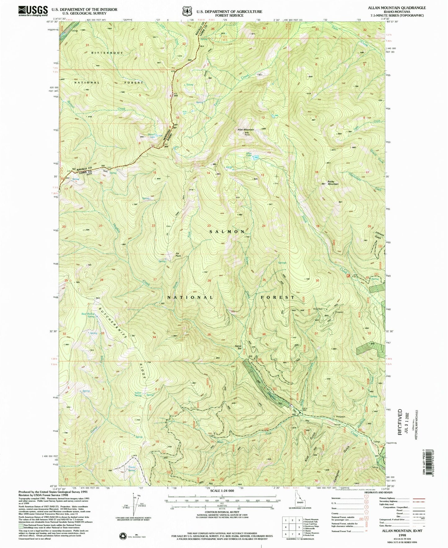
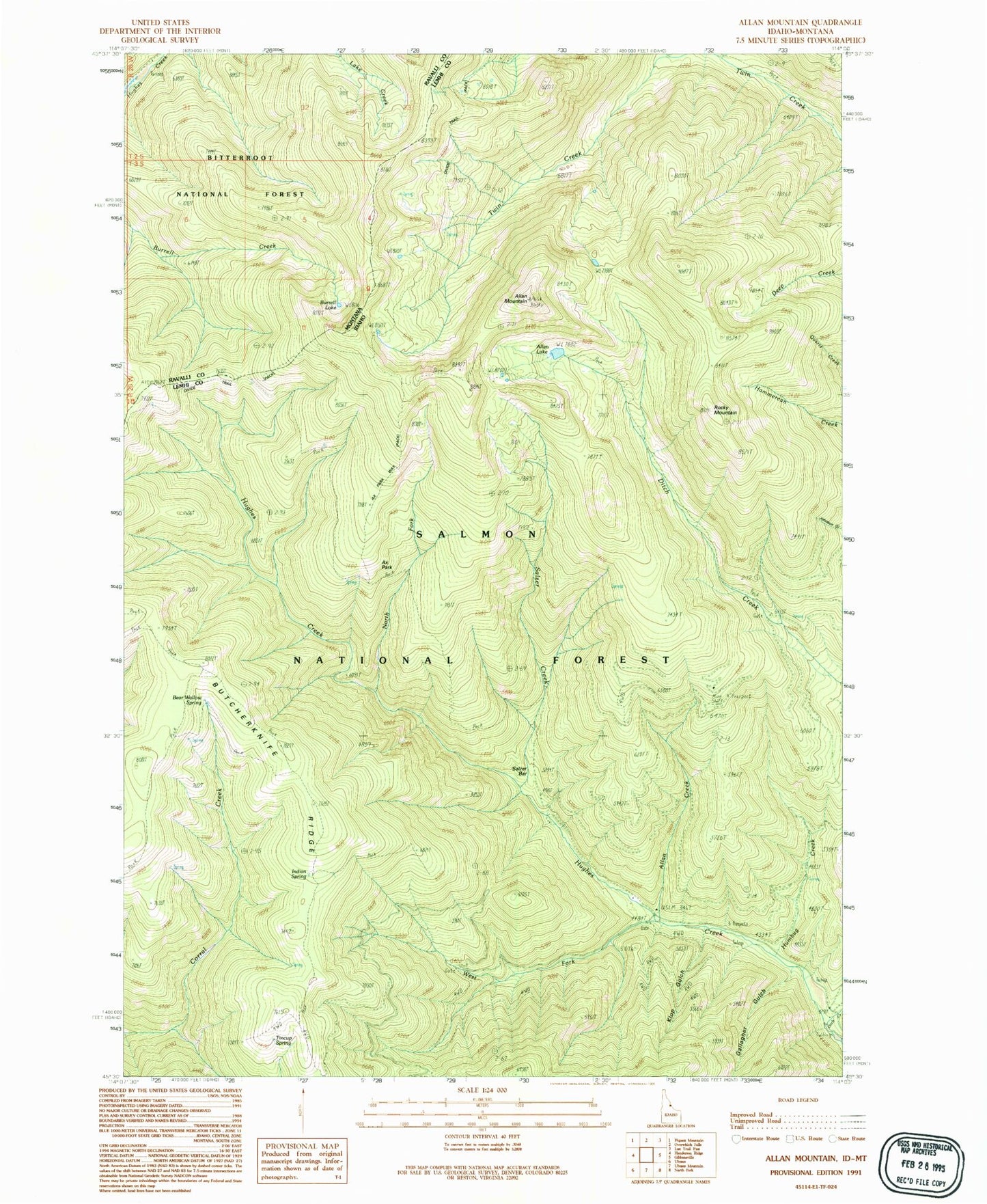
MyTopo
Classic USGS Allan Mountain Idaho 7.5'x7.5' Topo Map
Couldn't load pickup availability
Historical USGS topographic quad map of Allan Mountain in the states of Idaho, Montana. Map scale may vary for some years, but is generally around 1:24,000. Print size is approximately 24" x 27"
This quadrangle is in the following counties: Lemhi, Ravalli.
The map contains contour lines, roads, rivers, towns, and lakes. Printed on high-quality waterproof paper with UV fade-resistant inks, and shipped rolled.
Contains the following named places: Allan Creek, Allan Lake, Allan Mountain, Ax Park, Ax Park Way, Bear Wallow Spring, Burrell Lake, Butcherknife Ridge, Ditch Creek, Divide Trail, Gallagher Gulch, Humbug Creek, Indian Spring, Klop Gulch, North Fork Hughes Creek, Rocky Mountain, Salzer Bar, Salzer Creek, Tincup Spring, West Fork Hughes Creek, ZIP Code: 83463