MyTopo
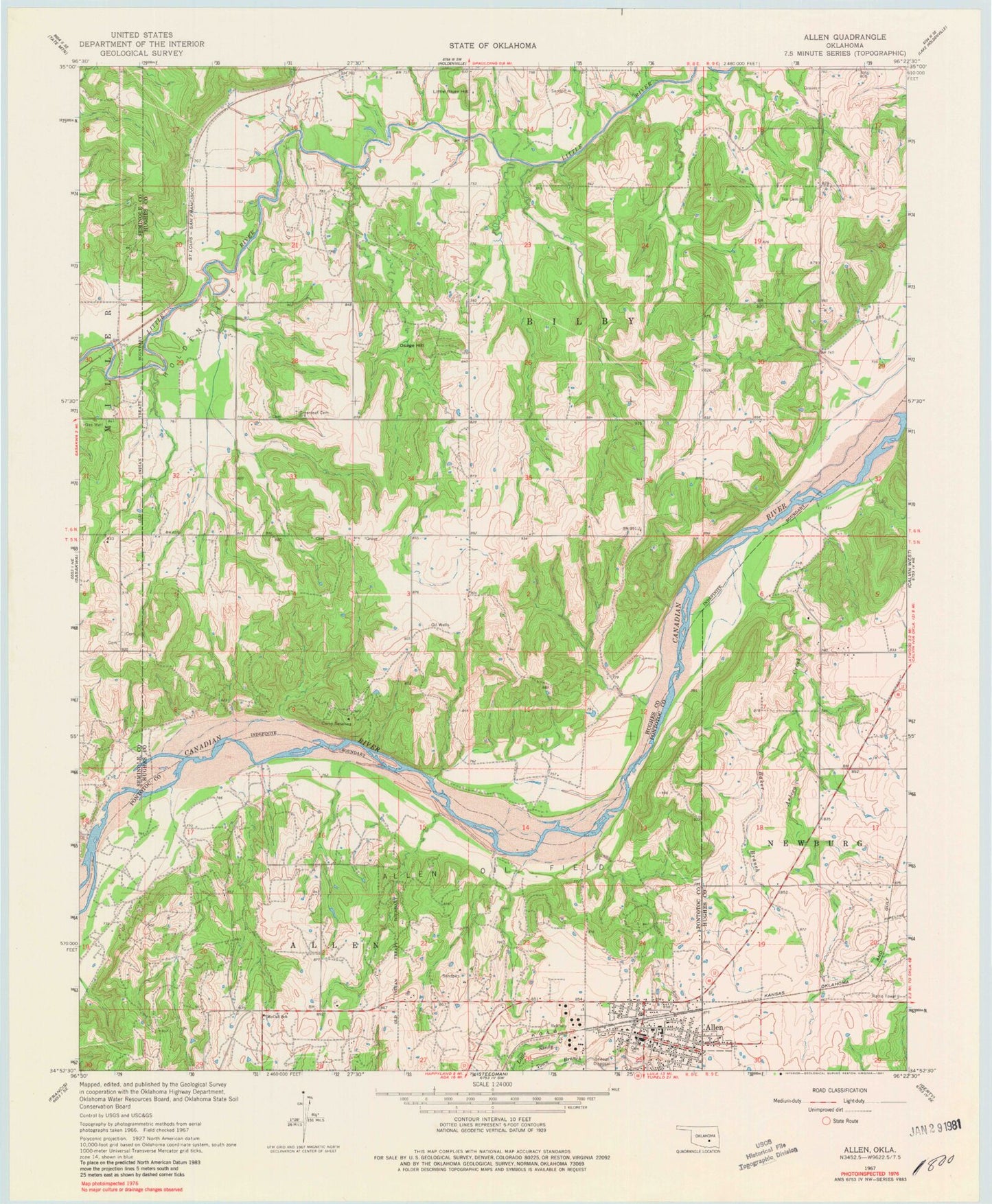
Classic USGS Allen Oklahoma 7.5'x7.5' Topo Map
Couldn't load pickup availability
Historical USGS topographic quad map of Allen in the state of Oklahoma. Map scale may vary for some years, but is generally around 1:24,000. Print size is approximately 24" x 27"
This quadrangle is in the following counties: Hughes, Pontotoc, Seminole.
The map contains contour lines, roads, rivers, towns, and lakes. Printed on high-quality waterproof paper with UV fade-resistant inks, and shipped rolled.
Contains the following named places: Allen, Allen Cemetery, Allen Elementary School, Allen High School, Allen Oil Field, Allen Police Department, Allen Post Office, Allen Volunteer Fire Department, Arbeca Creek, Baker Branch, Boy Scout Camp Dam, Boy Scout Camp Reservoir, Camp Sasakwa, Greenleaf Cemetery, Holdenville Oil Field, Leonard Wemer Dam, Leonard Wemer Reservoir, Little River Hill, McCall School, Oknoname 063002 Dam, Oknoname 063002 Reservoir, Oknoname 063037 Dam, Osage Hill, R W Borders Dam, R W Borders Reservoir, Tiger Family Cemetery, Town of Allen, Township of Bilby, Wemer-Leonard Company Lake Number 1, Wemer-Leonard Company Lake Number 1 Dam