
MyTopo
Classic USGS Allenwood Pennsylvania 7.5'x7.5' Topo Map
Couldn't load pickup availability
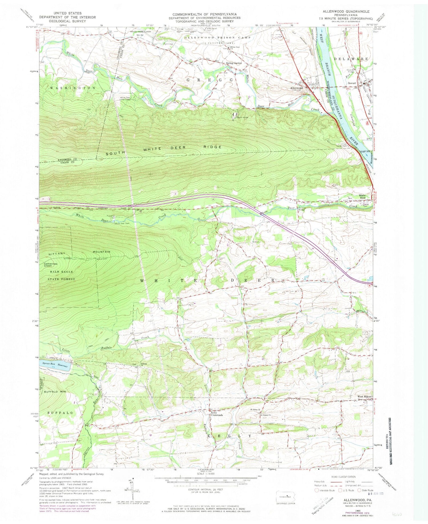
Historical USGS topographic quad map of Allenwood in the state of Pennsylvania. Map scale may vary for some years, but is generally around 1:24,000. Print size is approximately 24" x 27"
This quadrangle is in the following counties: Lycoming, Northumberland, Union.
The map contains contour lines, roads, rivers, towns, and lakes. Printed on high-quality waterproof paper with UV fade-resistant inks, and shipped rolled.
Contains the following named places: Allenwood, Allenwood Census Designated Place, Allenwood Post Office, Catharines Crown, Central School, Delaware Run, Devitt Home, Dewart, Dewart Post Office, Dry Run, Furnace School, Kelly Crossroads, Moore School, New Columbia Census Designated Place, Old Furnace, Pleasant Creek School, Ramsey School, Robin School, Saint Johns Church, Saint Peters Church, Spring Creek, Spring Garden, Spruce Reservoir Dam, Spruce Run Reservoir, Sunrise Church, Sunrise School, Township of Gregg, Township of White Deer, West Milton Census Designated Place, Wetzell School, White Deer Church, White Deer Dam, White Deer Hole Creek, White Deer Post Office, White Deer Valley, White Deer Valley Camp, Yokum School, ZIP Codes: 17730, 17856, 17886


