MyTopo
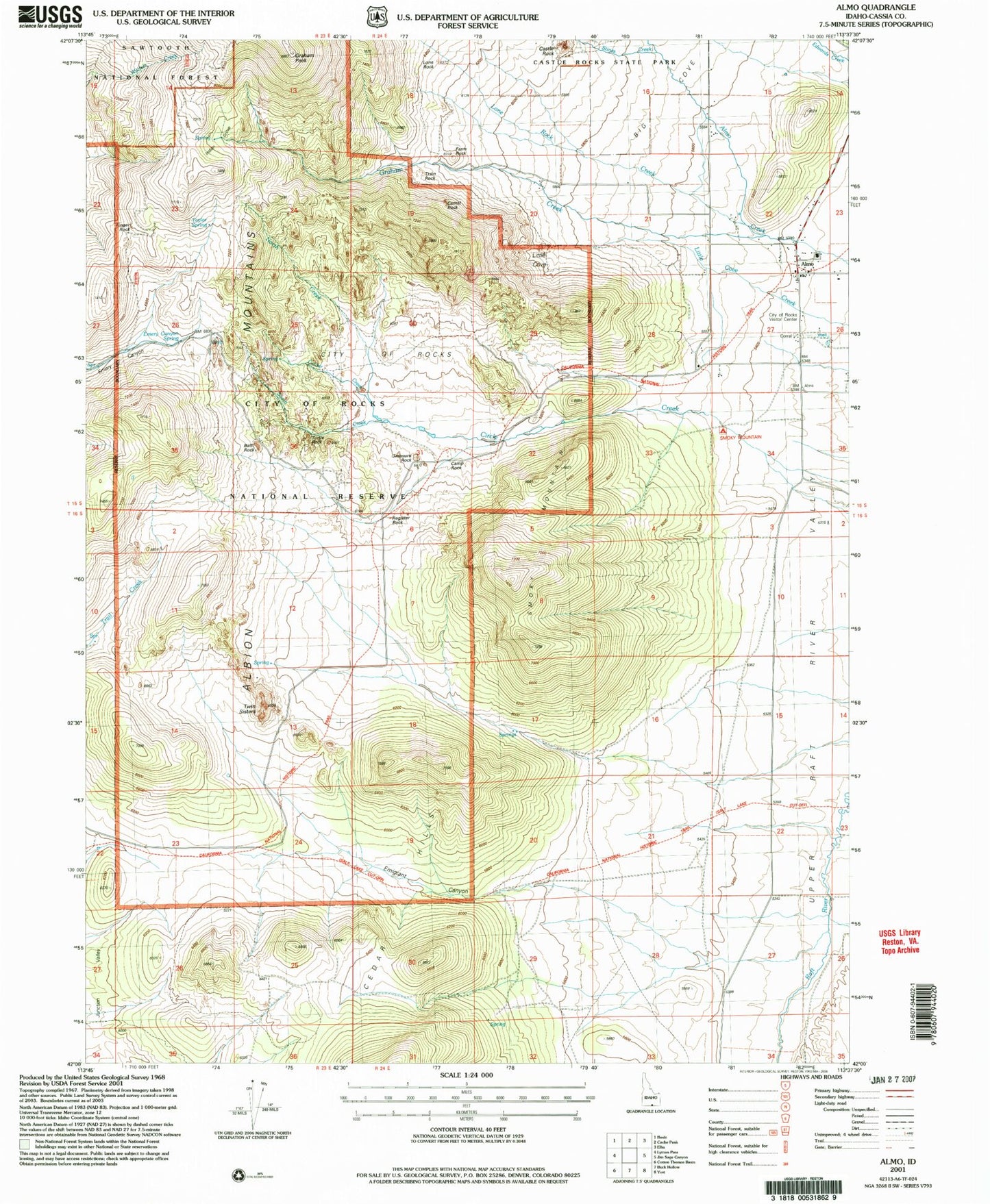
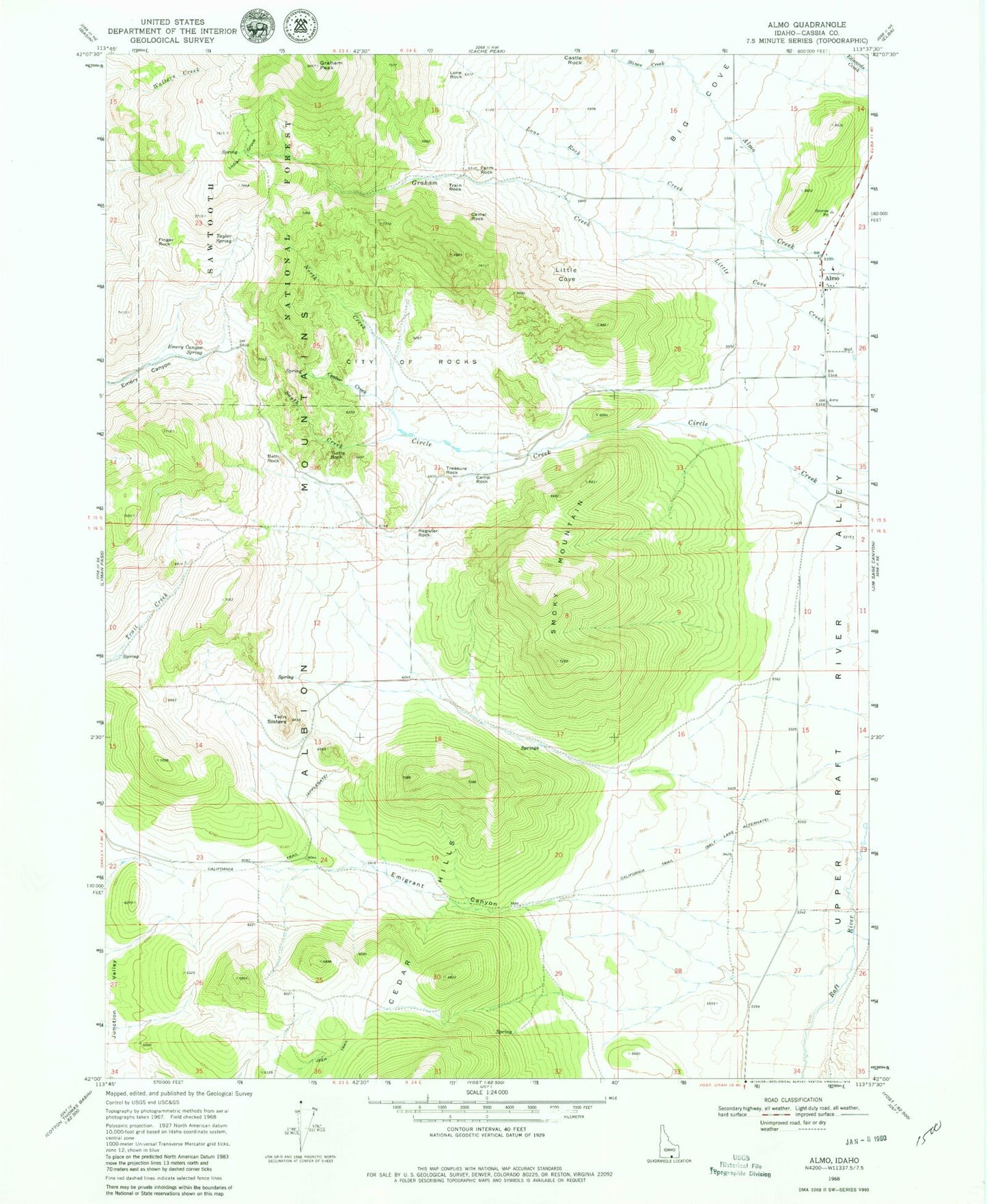
Classic USGS Almo Idaho 7.5'x7.5' Topo Map
Couldn't load pickup availability
Historical USGS topographic quad map of Almo in the state of Idaho. Typical map scale is 1:24,000, but may vary for certain years, if available. Print size: 24" x 27"
This quadrangle is in the following counties: Cassia.
The map contains contour lines, roads, rivers, towns, and lakes. Printed on high-quality waterproof paper with UV fade-resistant inks, and shipped rolled.
Contains the following named places: Almo, Bath Rock, Big Cove, Camel Rock, Camp Rock, Castle Rock, Center Creek, City of Rocks, Emigrant Canyon, Farm Rock, Finger Rock, Graham Creek, Graham Peak, Little Cove, Lone Rock, Lone Rock Creek, North Creek, Register Rock, South Creek, Stines Creek, Taylor Spring, Train Rock, Treasure Rock, Turtle Rock, Twin Sisters, Indian Grove, Smoky Mountain, Cedar Hills, Emery Canyon Spring, Parking Lot Rock, Pinnacle Pass, Bread Loaf, Almo Elementary School, City of Rocks National Reserve, Elephant Rock, Heath Canyon, Steinfells Dome, Granite Peak, Mahogany Mountain, Emery Pass Picnic Area, Bread Loaves, Bath Rock Creek, Heath Canyon, Almo Post Office