MyTopo
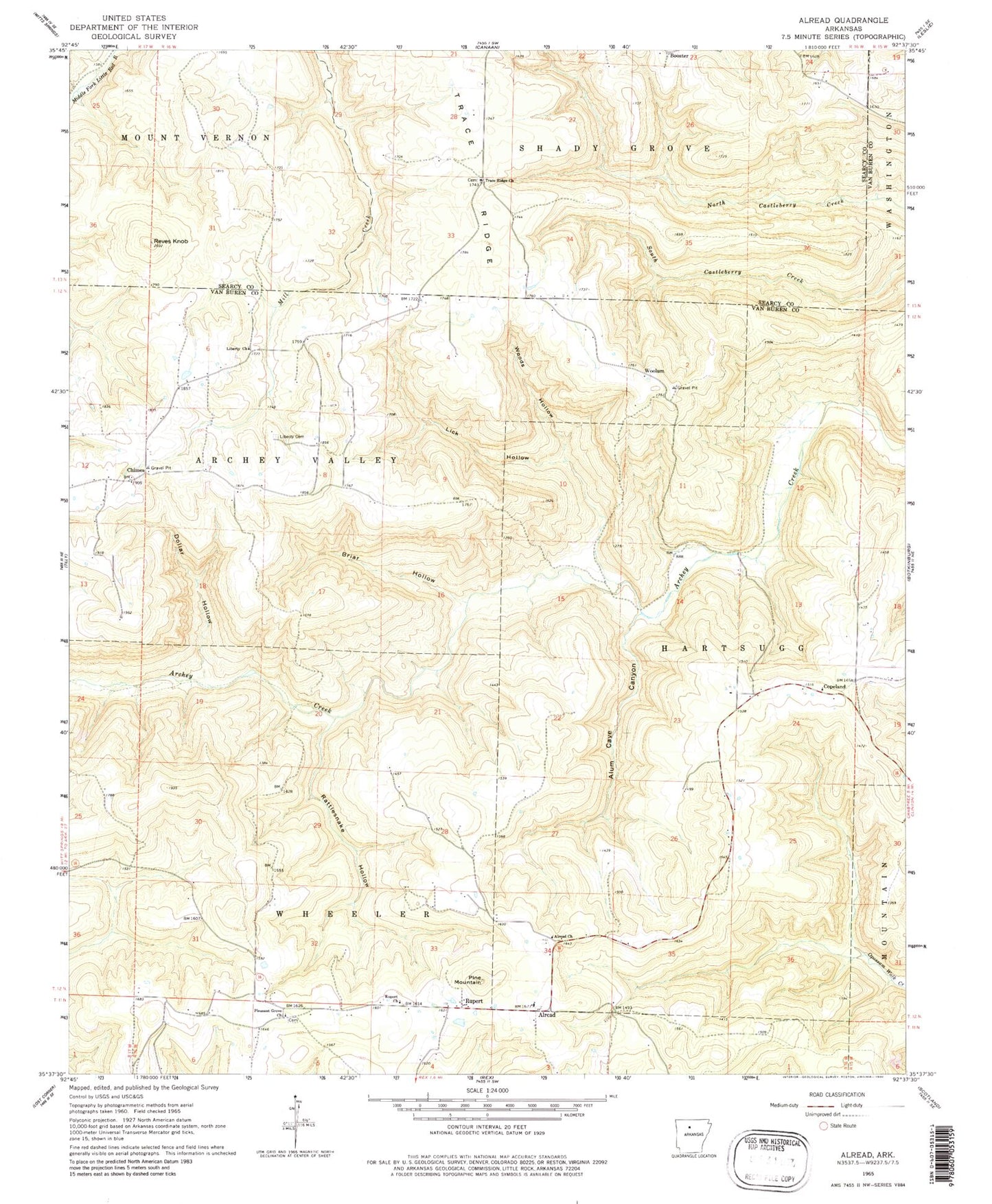
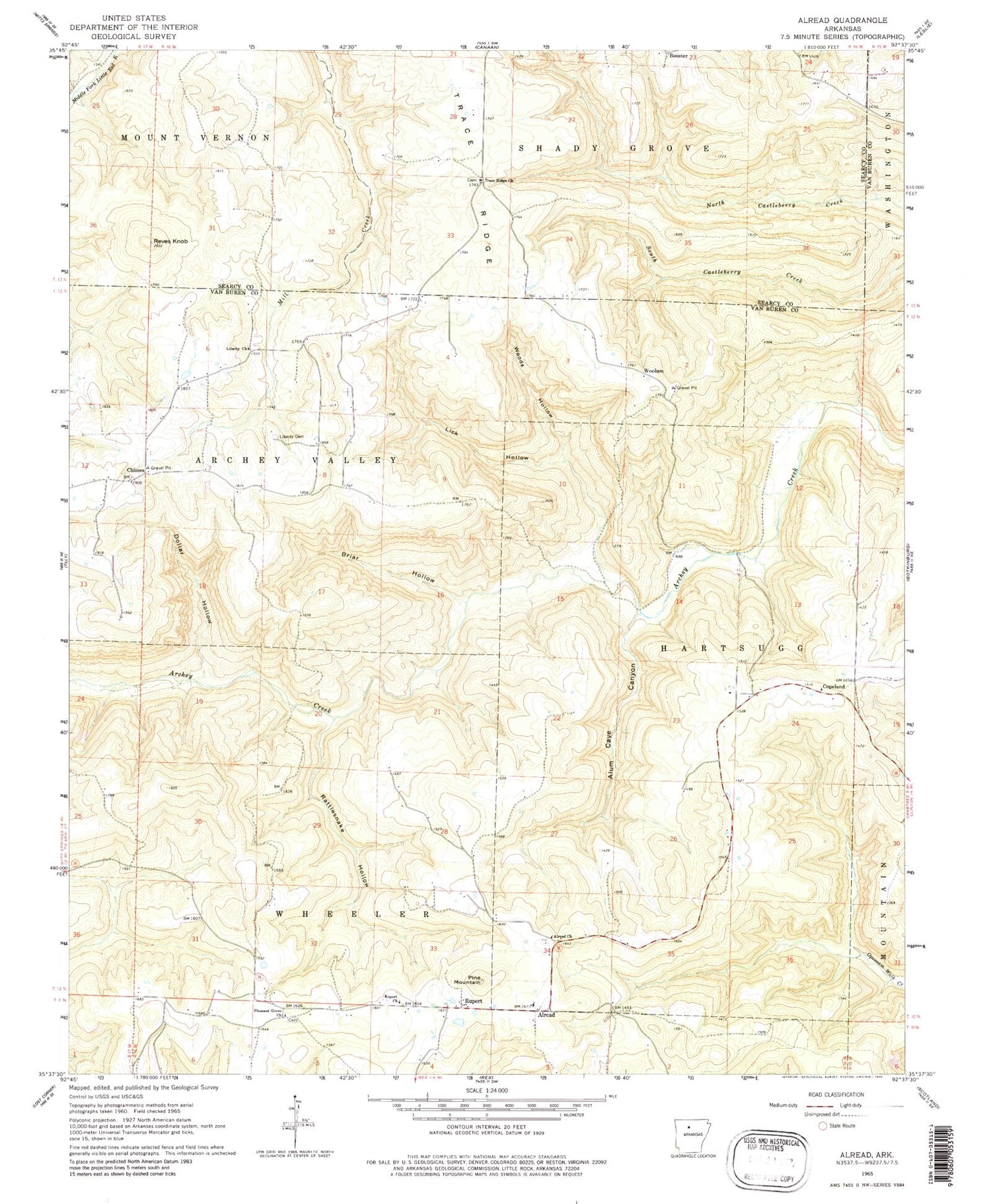
Classic USGS Alread Arkansas 7.5'x7.5' Topo Map
Couldn't load pickup availability
Historical USGS topographic quad map of Alread in the state of Arkansas. Map scale may vary for some years, but is generally around 1:24,000. Print size is approximately 24" x 27"
This quadrangle is in the following counties: Searcy, Van Buren.
The map contains contour lines, roads, rivers, towns, and lakes. Printed on high-quality waterproof paper with UV fade-resistant inks, and shipped rolled.
Contains the following named places: Alread, Alread Church, Alread Elementary School, Alread High School, Alread Volunteer Fire Department, Alum Cave Canyon, Archey Valley, Booster, Briar Hollow, Chimes, Chimes Volunteer Fire Department, Chimes Volunteer Fire Department Ambulance, Copeland, Dollar Hollow, Liberty Cemetery, Liberty Missionary Baptist Church, Liberty School, Lick Hollow, Pine Mountain, Pleasant Grove Church, Rattlesnake Hollow, Reves Knob, Rupert, Rupert Baptist Church, Township of Archey Valley, Township of Hartsugg, Township of Wheeler, Trace Ridge, Trace Ridge Church, Woods Hollow, Woolum