MyTopo
Classic USGS Altamaha SE Georgia 7.5'x7.5' Topo Map
Couldn't load pickup availability
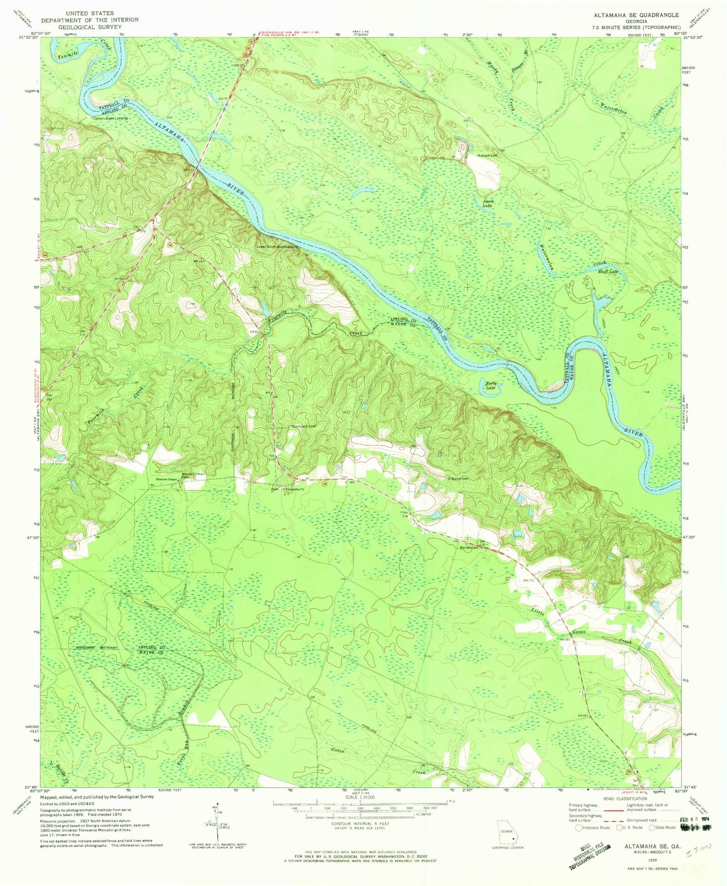
Historical USGS topographic quad map of Altamaha SE in the state of Georgia. Map scale may vary for some years, but is generally around 1:24,000. Print size is approximately 24" x 27"
This quadrangle is in the following counties: Appling, Tattnall, Wayne.
The map contains contour lines, roads, rivers, towns, and lakes. Printed on high-quality waterproof paper with UV fade-resistant inks, and shipped rolled.
Contains the following named places: Big Hammock, Big Hammock State National Recreation Area, Blantons Chapel, Bluff Lake, Carters Bight Landing, Dinner Branch, Fivemile Creek, Friendship Church, Jessie Lake, John C Beasley Memorial Bridge, Lower Sister Bluff Landing, Matlock Cemetery, Moody - Tillman Cemetery, Moody Creek, New Hope Church, O'Quinn Cemetery, Rocky Lake, Staffords Ferry, Tenmile Creek, Thompson Cemetery, Warren Cemetery, Watermelon Creek