MyTopo
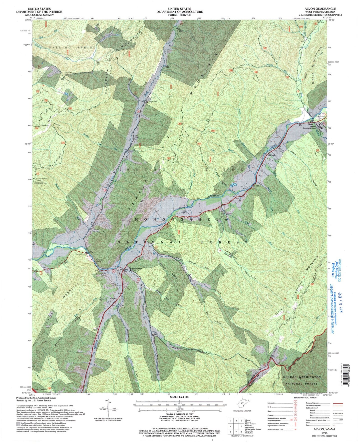
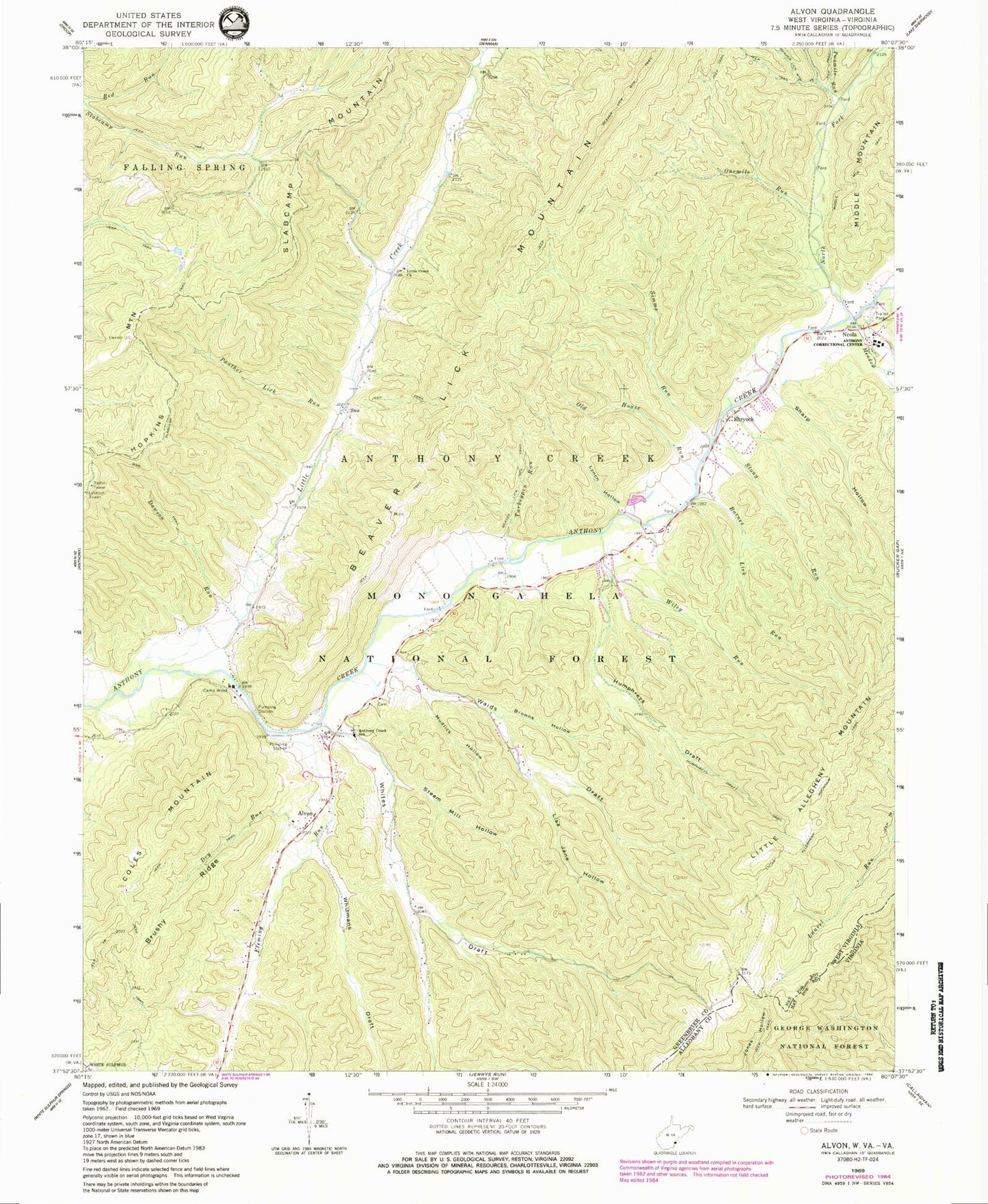
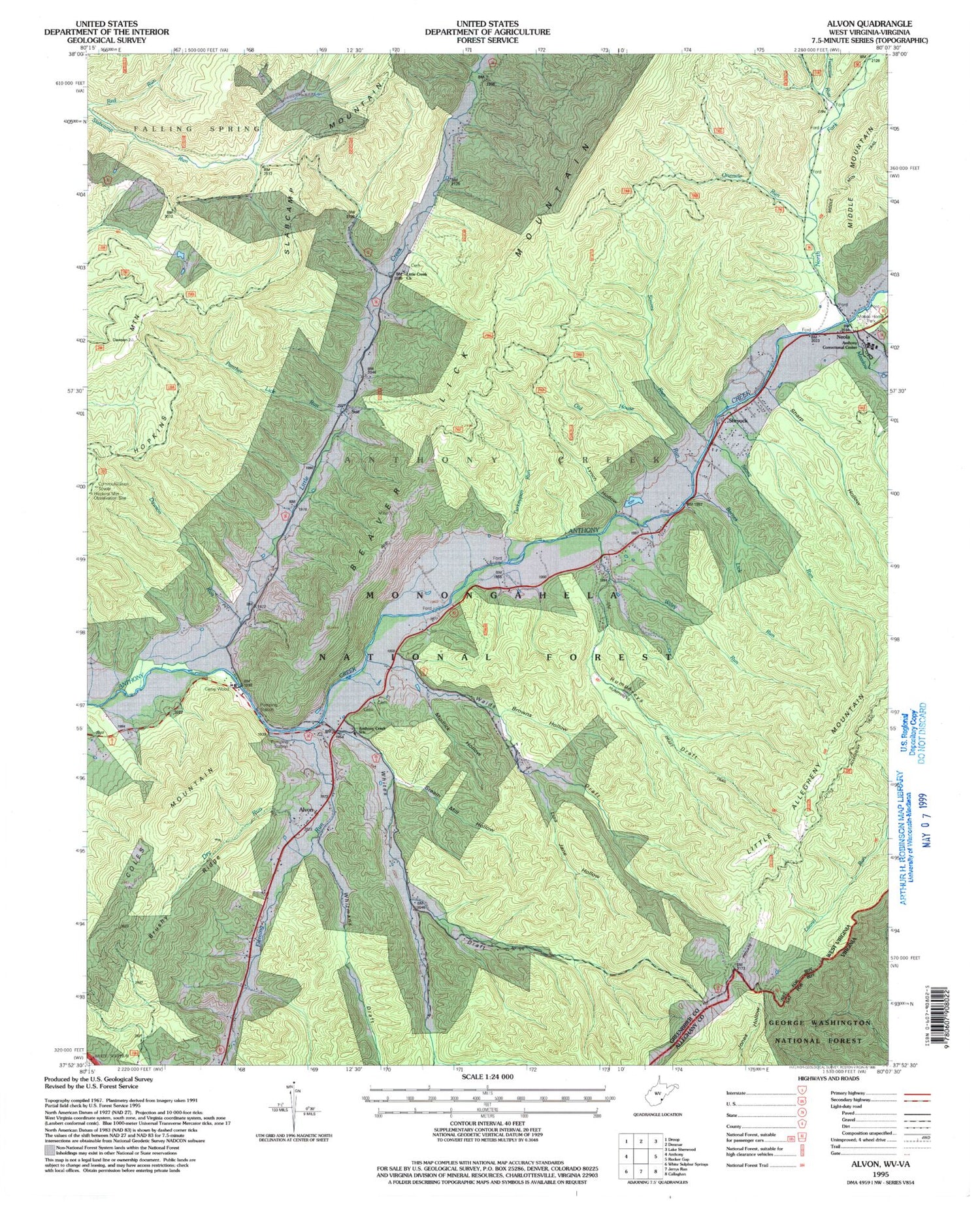
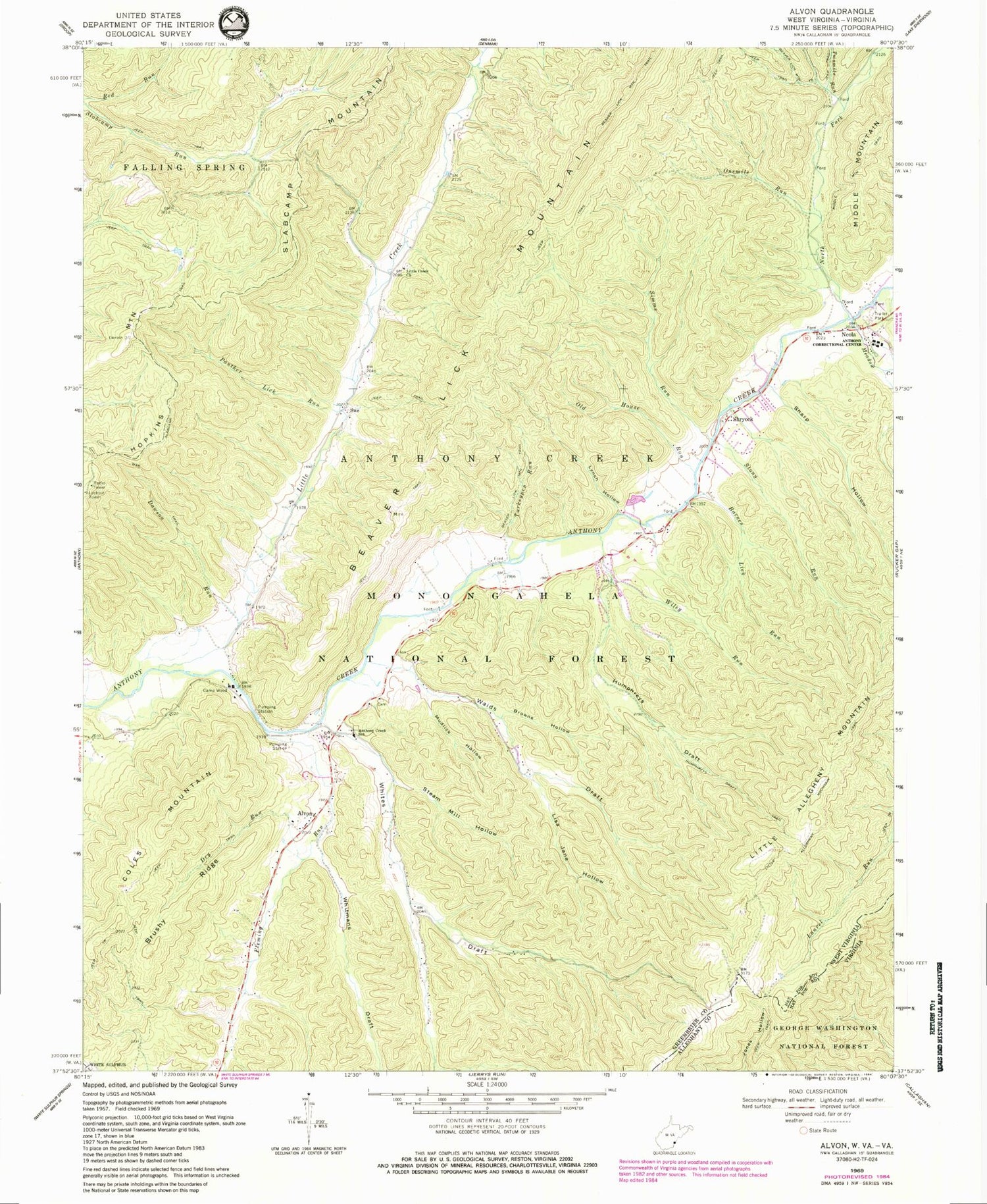
Classic USGS Alvon West Virginia 7.5'x7.5' Topo Map
Couldn't load pickup availability
Historical USGS topographic quad map of Alvon in the state of West Virginia. Map scale may vary for some years, but is generally around 1:24,000. Print size is approximately 24" x 27"
This quadrangle is in the following counties: Alleghany, Greenbrier.
The map contains contour lines, roads, rivers, towns, and lakes. Printed on high-quality waterproof paper with UV fade-resistant inks, and shipped rolled.
Contains the following named places: Allegheny Mountain School, Alvon, Alvon Spring Number 1, Alvon Spring Number 3, Alvon Spring Number 4, Anthony Cave Spring, Anthony Correctional Center, Anthony Creek School, Anthony Creek Volunteer Fire Department and Rescue Squad, Barnes Lick Run, Beaver Lick Mountain Trail, Brown School, Browns Hollow, Brushy Ridge, Camp Wood, Campslab, Coles Mountain, Dawson Run, Dry Run, Fleming Run, Hopkins Mountain Lookout Tower, Hull School, Humphreys Draft, Humphreys Draft Trail, Lick Hollow Creek, Lisa Jane Hollow, Little Allegheny Mountain, Little Allegheny Mountain Trail, Little Creek, Little Creek Church, Lynch Hollow, Meadow Creek, Middle Fork Anthonys Creek, Mudlick Hollow, Neola, Neola Church of God, Neola Post Office, Neola Wildlife Management Area, North Fork Anthony Creek, Old House Run, Onemile Run, Panther Lick Run, Sharp Hollow, Shryock, Simms Run, Slabcamp School, Slabcamp Trail, Steam Mill Hollow, Stony Run, Sue, Turkeypen Run, Twomile Run, Upper Little Creek School, Waids Draft, Whites Draft, Whites Draft School, Whitmans Draft, Wiley Run, ZIP Code: 24986