MyTopo
Classic USGS Amber Lakes Idaho 7.5'x7.5' Topo Map
Couldn't load pickup availability
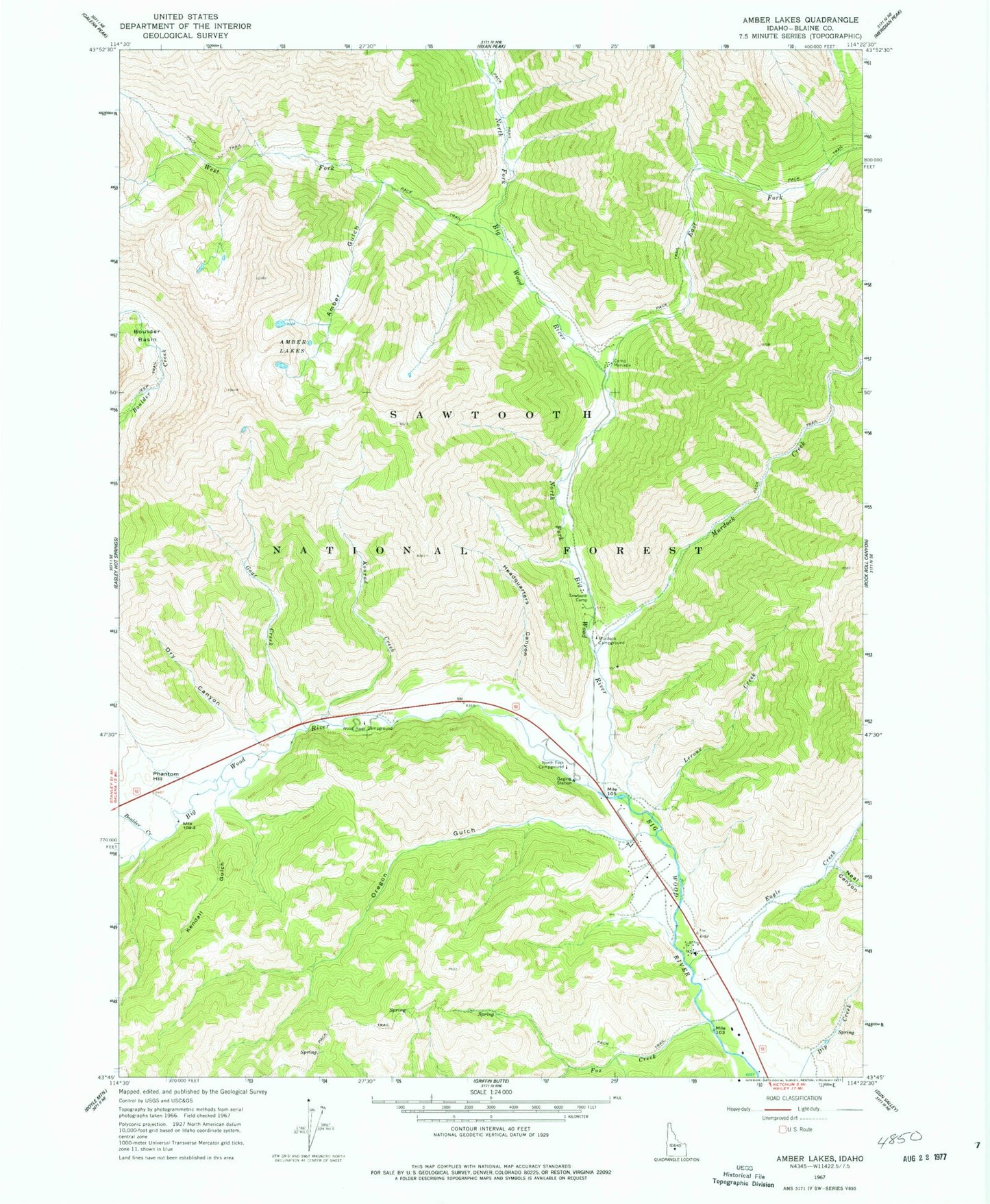
Historical USGS topographic quad map of Amber Lakes in the state of Idaho. Typical map scale is 1:24,000, but may vary for certain years, if available. Print size: 24" x 27"
This quadrangle is in the following counties: Blaine.
The map contains contour lines, roads, rivers, towns, and lakes. Printed on high-quality waterproof paper with UV fade-resistant inks, and shipped rolled.
Contains the following named places: Amber Gulch, Amber Lakes, Boulder Creek, Camp Manapu, Dry Canyon, Eagle Creek, East Fork North Fork Big Wood River, Fox Creek, Goat Creek, Headquarters Canyon, Kendall Gulch, Konrad Creek, Leroux Creek, Murdock Campground, Murdock Creek, Neal Canyon, North Fork Big Wood River, North Fork Campground, Oregon Gulch, Camp Sawtooth, West Fork North Fork Big Wood River, Wood River Campground, Sawtooth National Recreation Area Headquarters, Phantom Hill