MyTopo
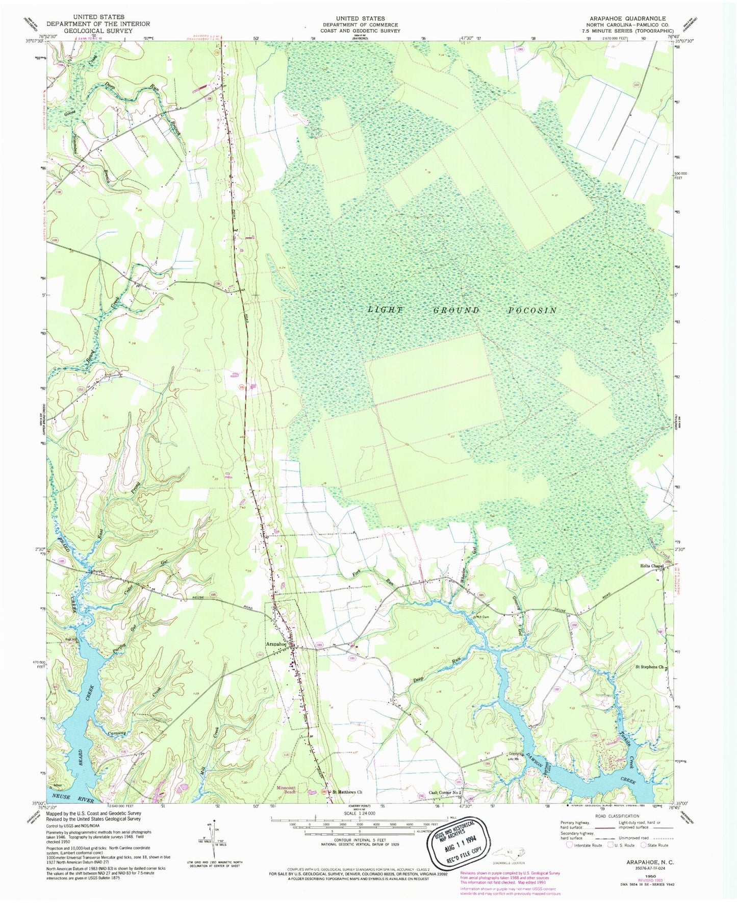
Classic USGS Arapahoe North Carolina 7.5'x7.5' Topo Map
Couldn't load pickup availability
Historical USGS topographic quad map of Arapahoe in the state of North Carolina. Map scale may vary for some years, but is generally around 1:24,000. Print size is approximately 24" x 27"
This quadrangle is in the following counties: Pamlico.
The map contains contour lines, roads, rivers, towns, and lakes. Printed on high-quality waterproof paper with UV fade-resistant inks, and shipped rolled.
Contains the following named places: Arapahoe, Arapahoe Elementary School, Arapahoe Fire and Rescue Department, Arapahoe Free Will Baptist Church, Arapahoe Post Office, Beard Creek, Beards Creek, Bethany Christian Church, Caraway Creek, Cash Corner Number 2, Cedar Gut, Deep Run, Deep Run Branch, East Prong Beard Creek, Fork Run, Granny Gut, Holts Chapel, Light Ground Pocosin, Purifoy Gut, Saint Matthews Church, Saint Stephens Church, Simmons Branch, Tarkiln Creek, Town of Arapahoe, Township 5, Wheeler Gut, ZIP Code: 28529