MyTopo
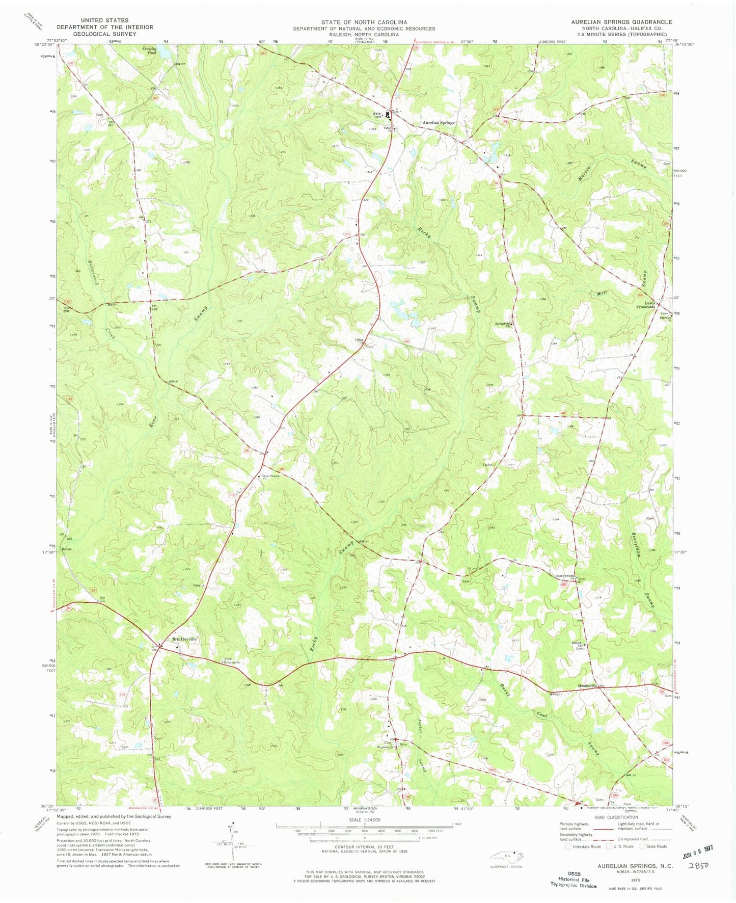
Classic USGS Aurelian Springs North Carolina 7.5'x7.5' Topo Map
Couldn't load pickup availability
Historical USGS topographic quad map of Aurelian Springs in the state of North Carolina. Map scale may vary for some years, but is generally around 1:24,000. Print size is approximately 24" x 27"
This quadrangle is in the following counties: Halifax.
The map contains contour lines, roads, rivers, towns, and lakes. Printed on high-quality waterproof paper with UV fade-resistant inks, and shipped rolled.
Contains the following named places: Antioch Church, Aurelian Springs, Aurelian Springs Elementary School, Bear Swamp Church, Bethesda Church, Brinkleyville, Butterwood Creek, Crawleys Pond, Crawleys Pond Dam, Heathsville, Lebon Church, Lewis Crossroads, Rocky Swamp Church, Springfield Church, Tabor Church, Township of Butterwood, Warrens Pond Dam, Wayman Church