MyTopo
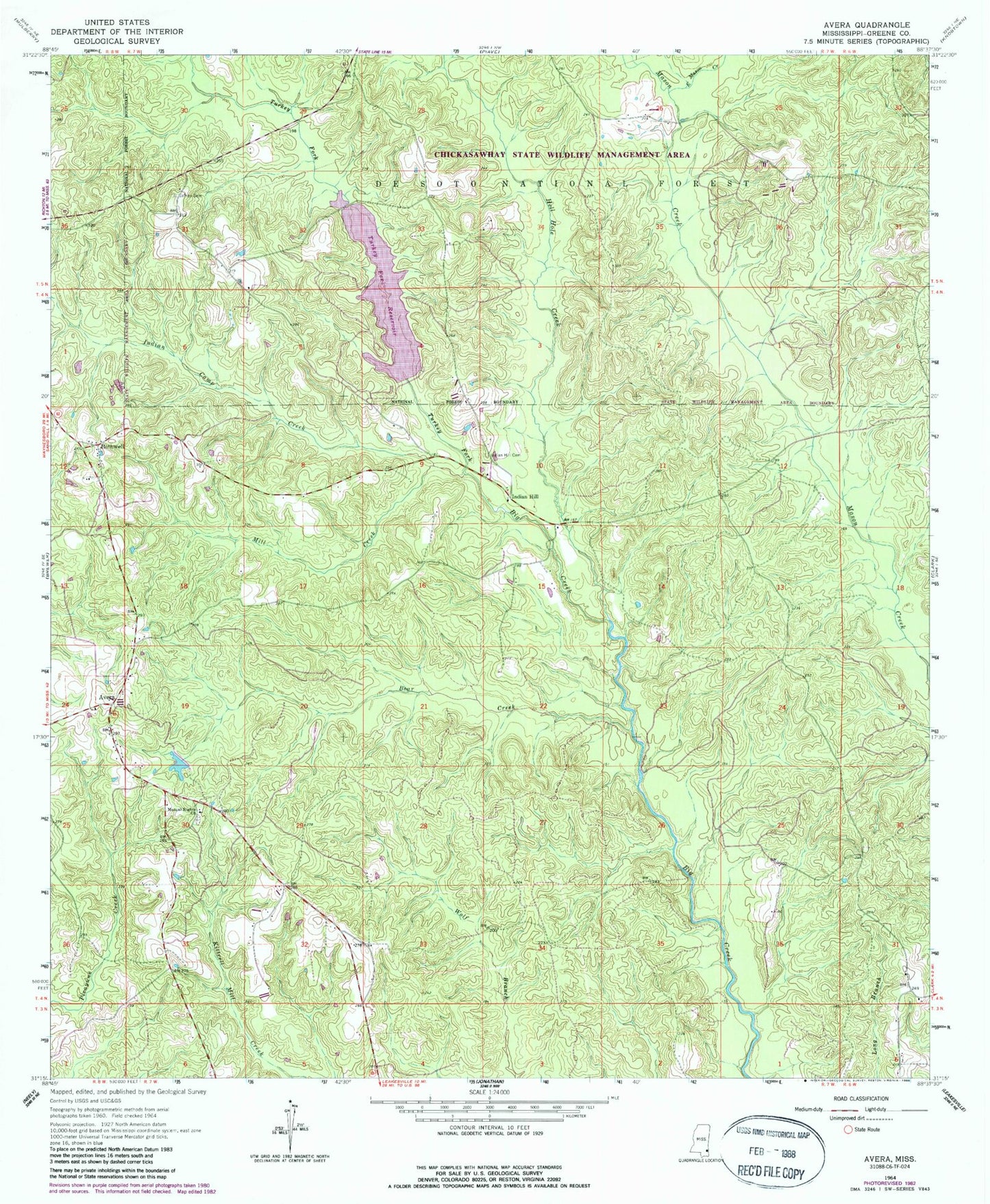
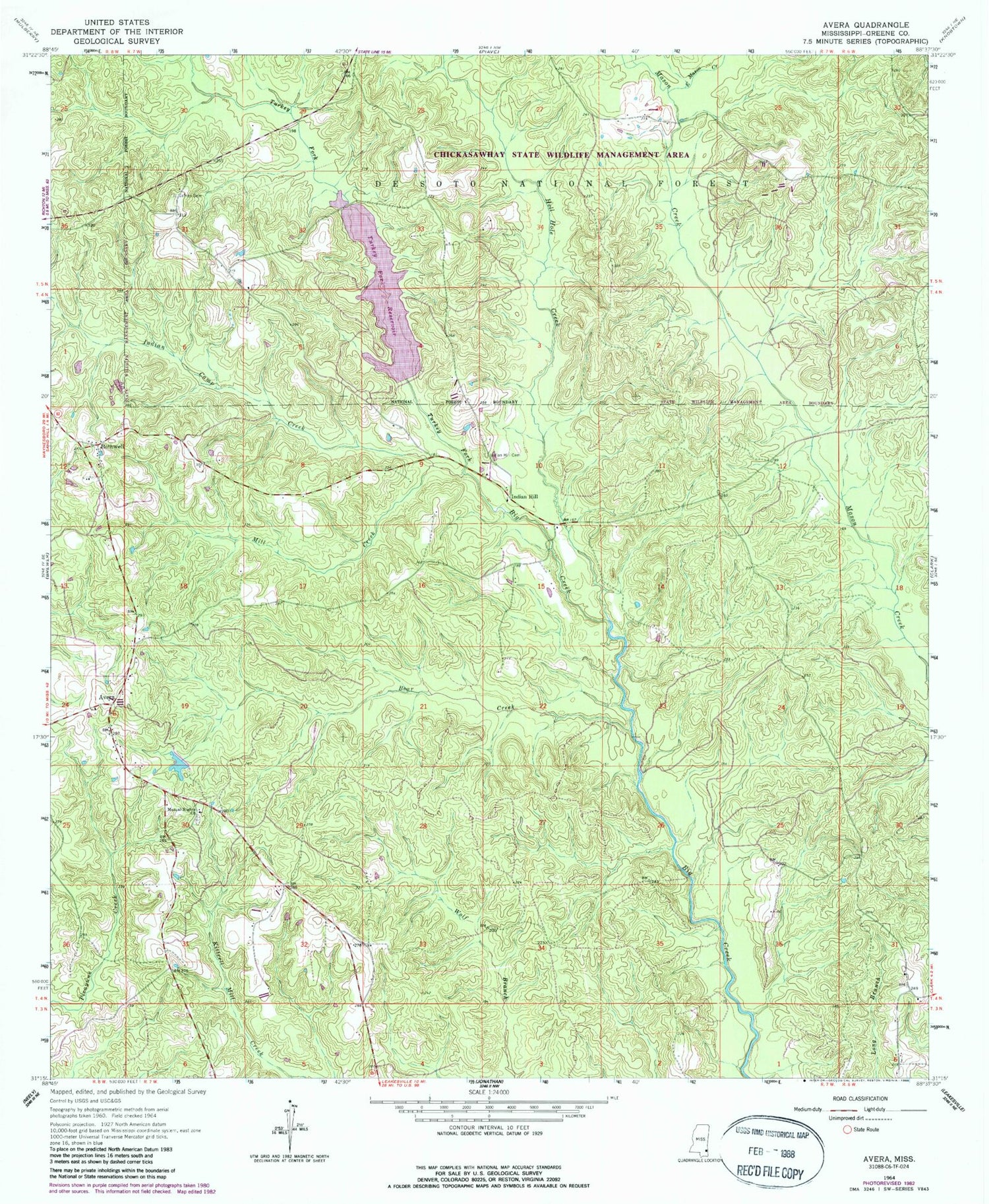
Classic USGS Avera Mississippi 7.5'x7.5' Topo Map
Couldn't load pickup availability
Historical USGS topographic quad map of Avera in the state of Mississippi. Map scale is 1:24000. Print size is approximately 24" x 27"
This quadrangle is in the following counties: Greene.
The map contains contour lines, roads, rivers, towns, and lakes. Printed on high-quality waterproof paper with UV fade-resistant inks, and shipped rolled.
Contains the following named places: Avera, Bear Creek, Bothwell, Carson City, East Mason Creek, Hell Hole Creek, Indian Camp Creek, Indian Hill, Indian Hill Cemetery, Indian Hill School (historical), James Cemetery, Kitrell Creek Reservoir Dam, Mill Creek, Mutual Rights Cemetery, Mutual Rights Church, Turkey Fork, Turkey Fork Recreation Site, Turkey Fork Reservoir, Turner Lake Dam