MyTopo
Abbottsburg North Carolina US Topo Map
Couldn't load pickup availability
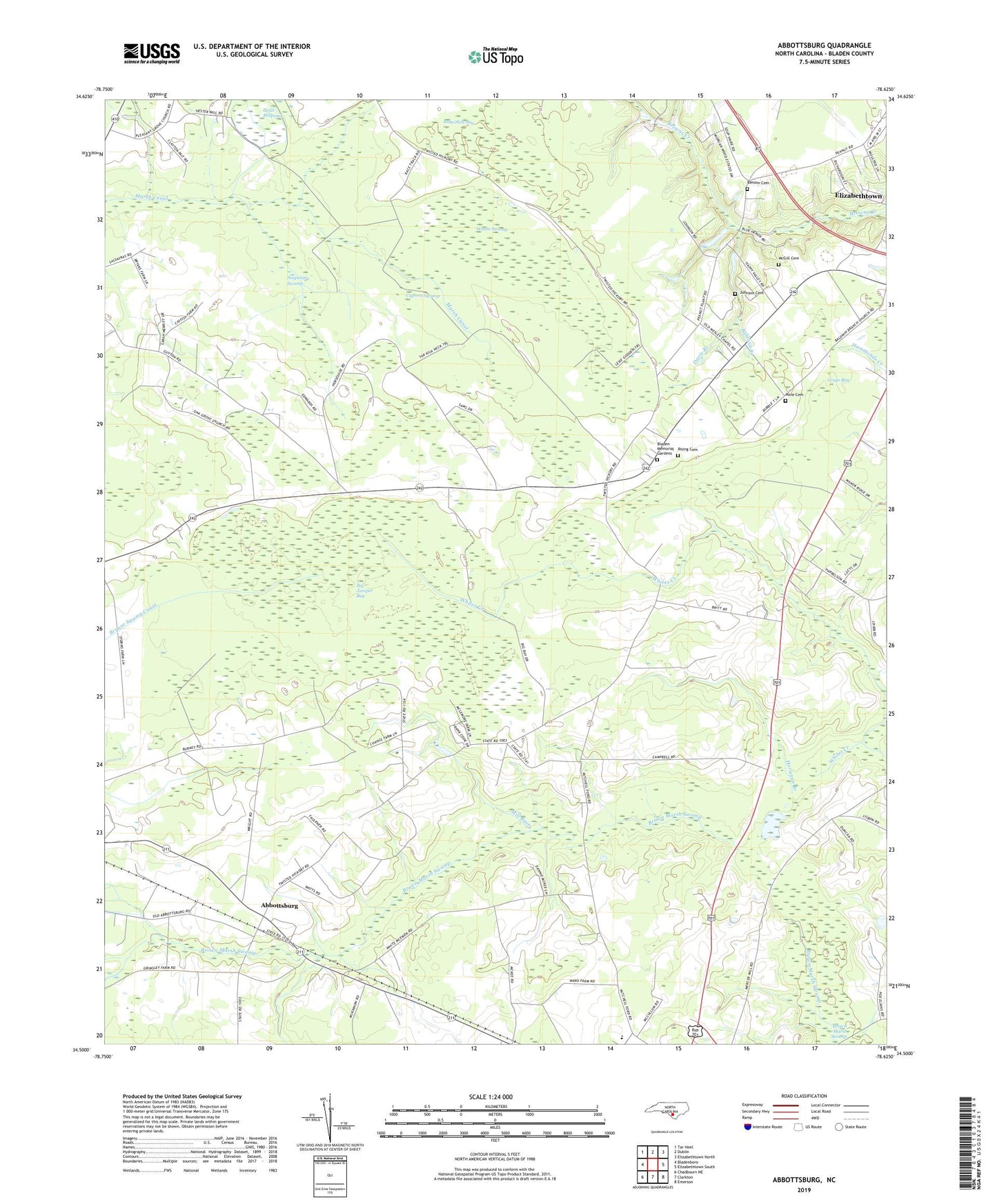
2019 topographic map quadrangle Abbottsburg in the state of North Carolina. Scale: 1:24000. Based on the newly updated USGS 7.5' US Topo map series, this map is in the following counties: Bladen. The map contains contour data, water features, and other items you are used to seeing on USGS maps, but also has updated roads and other features. This is the next generation of topographic maps. Printed on high-quality waterproof paper with UV fade-resistant inks.
Quads adjacent to this one:
West: Bladenboro
Northwest: Tar Heel
North: Dublin
Northeast: Elizabethtown North
East: Elizabethtown South
Southeast: Emerson
South: Clarkton
Southwest: Chadbourn NE
Contains the following named places: Abbottsburg, Baldwin Branch, Baldwin Branch Church, Benson Cemetery, Big Juniper Bay, Bladen County Hospital Airport, Bladen County Park, Bladen Memorial Gardens, Booker T Washington School, Brown Marsh Church, Calvary Church, Clarkton United Church, Cromartie Hill Church, Cypress Swamp, Davis Branch, Davis Millpond, Full Gospel Christian Church, Grays Bay, Horsepen Branch, Johnson Cemetery, McGill Cemetery, Mill Race, Mount Hebron Church, New Shiloh Church of Christ, North Carolina State Highway Patrol Troop B District 5 Substation, Oak Grove Church, Paris Millpond, Pleasant Grove Church, Pone Cemetery, Rake Shin Bay, Rising Cemetery, Salem Church, Sandy Grove Church, Shady Grove Church, Singletary Swamp, Township of Abbotts, Township of Brown Marsh, Wesley Chapel, Whites Creek, Woolie Swamp