MyTopo
Agar SW South Dakota US Topo Map
Couldn't load pickup availability
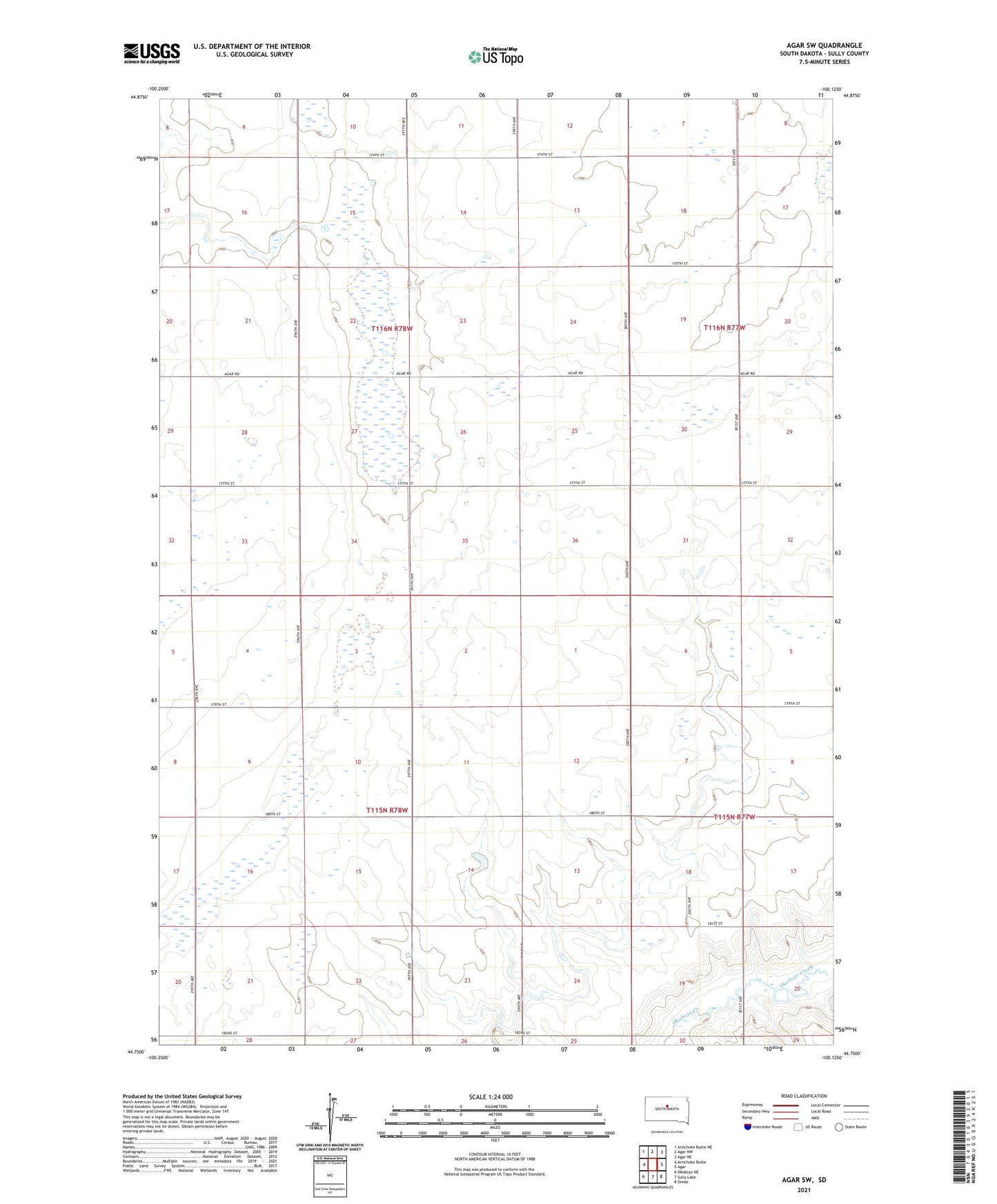
2021 topographic map quadrangle Agar SW in the state of South Dakota. Scale: 1:24000. Based on the newly updated USGS 7.5' US Topo map series, this map is in the following counties: Sully. The map contains contour data, water features, and other items you are used to seeing on USGS maps, but also has updated roads and other features. This is the next generation of topographic maps. Printed on high-quality waterproof paper with UV fade-resistant inks.
Quads adjacent to this one:
West: Artichoke Butte
Northwest: Artichoke Butte NE
North: Agar NW
Northeast: Agar NE
East: Agar
Southeast: Onida
South: Sully Lake
Southwest: Okobojo NE
Contains the following named places: Cass School, Todd School, Township of Farmington, Township of Hartford, ZIP Code: 57520